SAFE PASSAGES
Ranging in elevation between 6,128’ along the Colorado River west of Dotsero to the lofty 14,011’ summit of Mt. of the Holy Cross, Eagle County’s geography is diverse, expansive and seasonally dynamic. Cutting east to west right through the middle of it all is Interstate 70, a bustling, noisy corridor of local, regional and long-distance traffic and freight.
Of the 60 miles that the highway traverses the county, over two-thirds are lined on both sides by 8-foot tall wildlife fencing. While the fencing has dramatically reduced wildlife collisions, it also severely restricts the free movement of wildlife required to access seasonal habitats, alternate food sources and for sustained propagation.
Along with our communities, residential areas, frontage roads, as well as Gore Creek and the Eagle and Colorado Rivers, the I-70 corridor is a near impassible gauntlet of barriers with only a handful of mostly inadequate crossing areas.
The EVW project continues to shed light on this challenge in order to help initiate the creation of new wildlife overpasses and underpasses in key areas.
DEER MIGRATION ALONG I-70, DOWD JUNCTION


MULE DEER EXITING BOX CULVERT, DOWD CANYON (Camera Trap Image)

MULE DEER EXITING BOX CULVERT, DOWD CANYON (Camera Trap Image)

MULE DEER BUCK CROSSING RAILROAD BRIDGE, DOWD JUNCTION (Camera Trap Image)

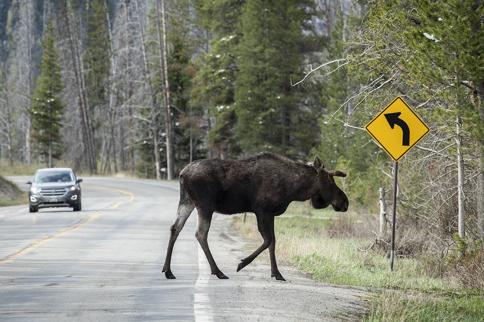
MOOSE TRAPPED ON THE WRONG SIDE OF THE FENCE, DOWD JUNCTION

MULE DEER KILLED BY VEHICLE IMPACT, WEST VAIL
MOOSE CROSSING U.S. 6 NEAR RED CLIFF
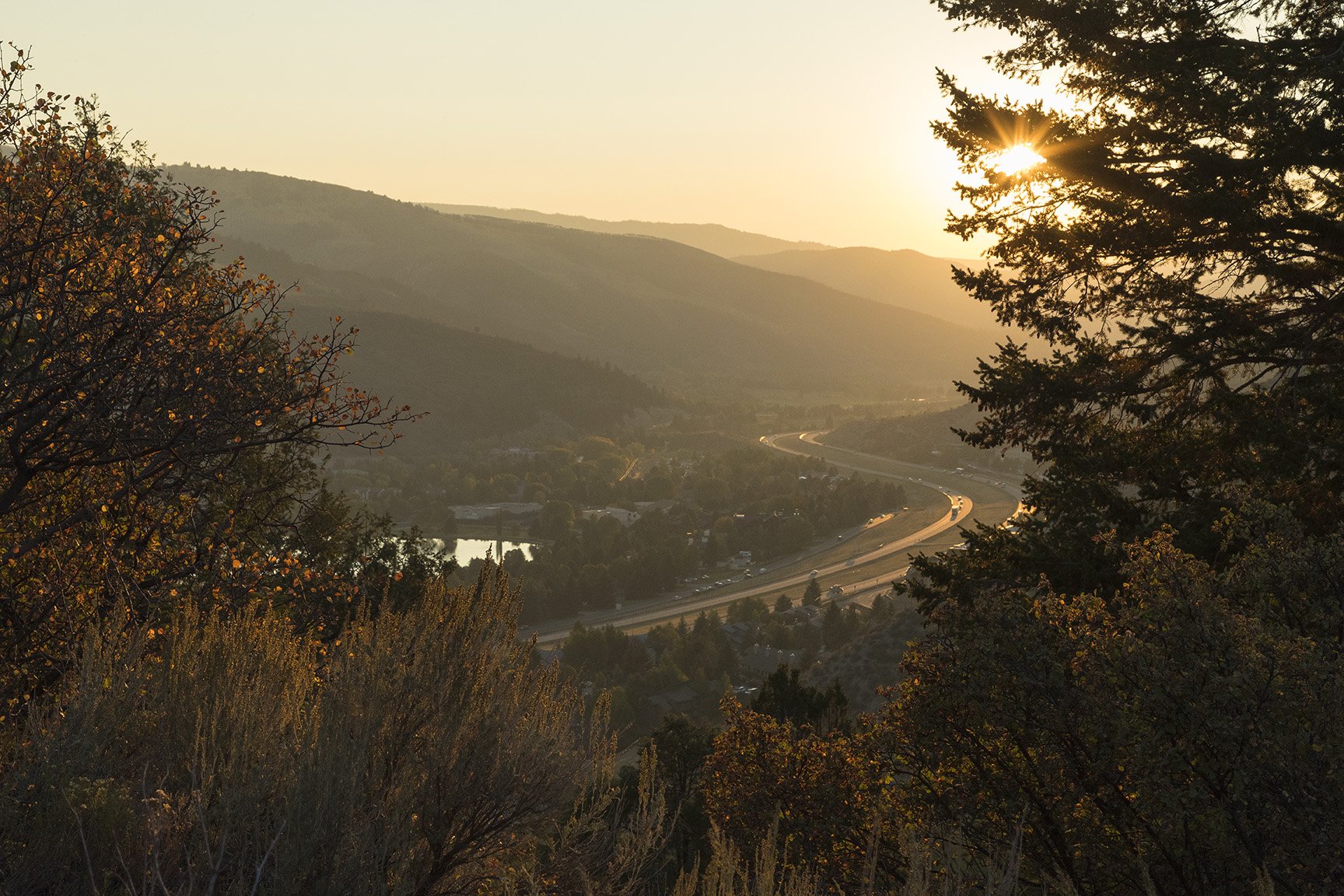
I-70 PASSING THROUGH AVON
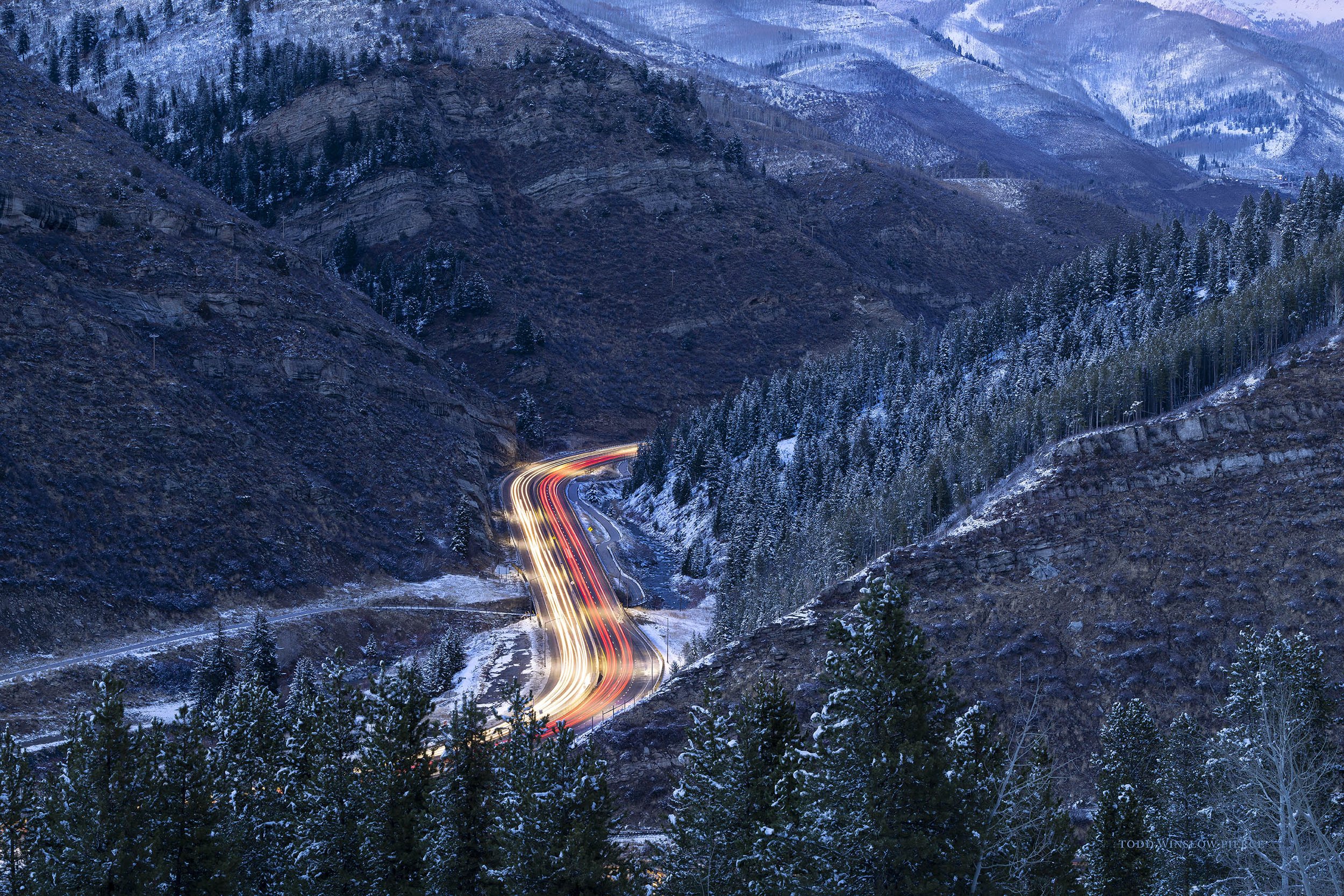
INTERSTATE 70 THROUGH DOWD CANYON

EAGLE RIVER VALLEY FROM BELLYACHE RIDGE